Location: Poison Springs Wash Road, Utah
Dates: October 5–14, 2026
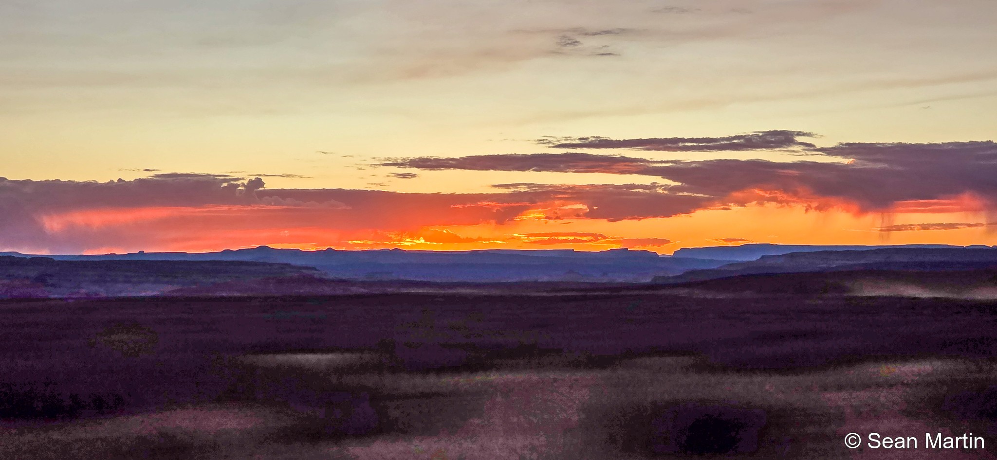
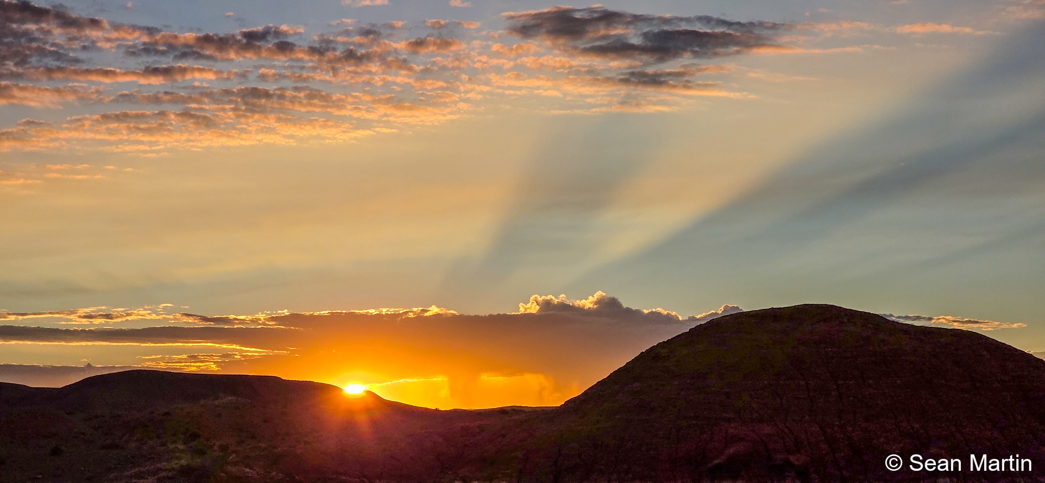
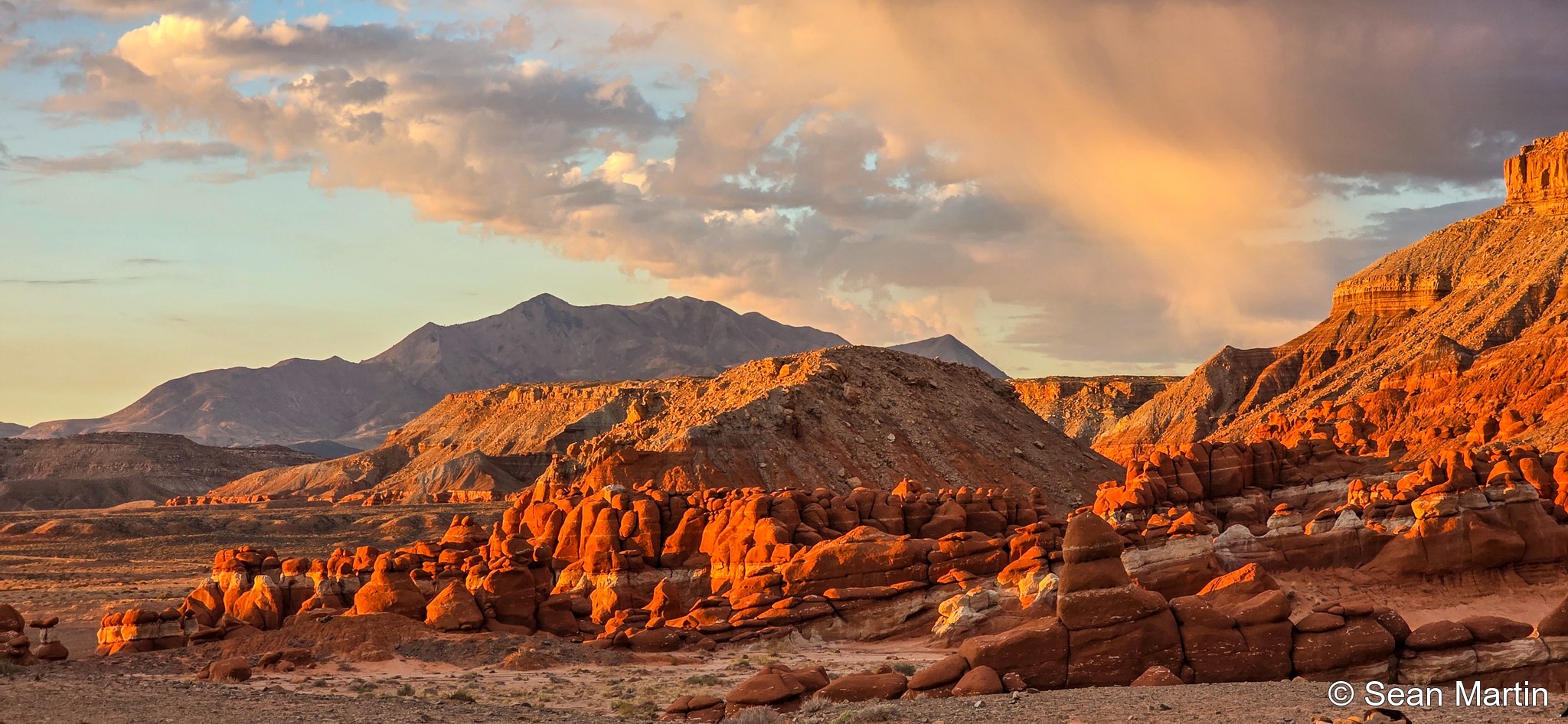
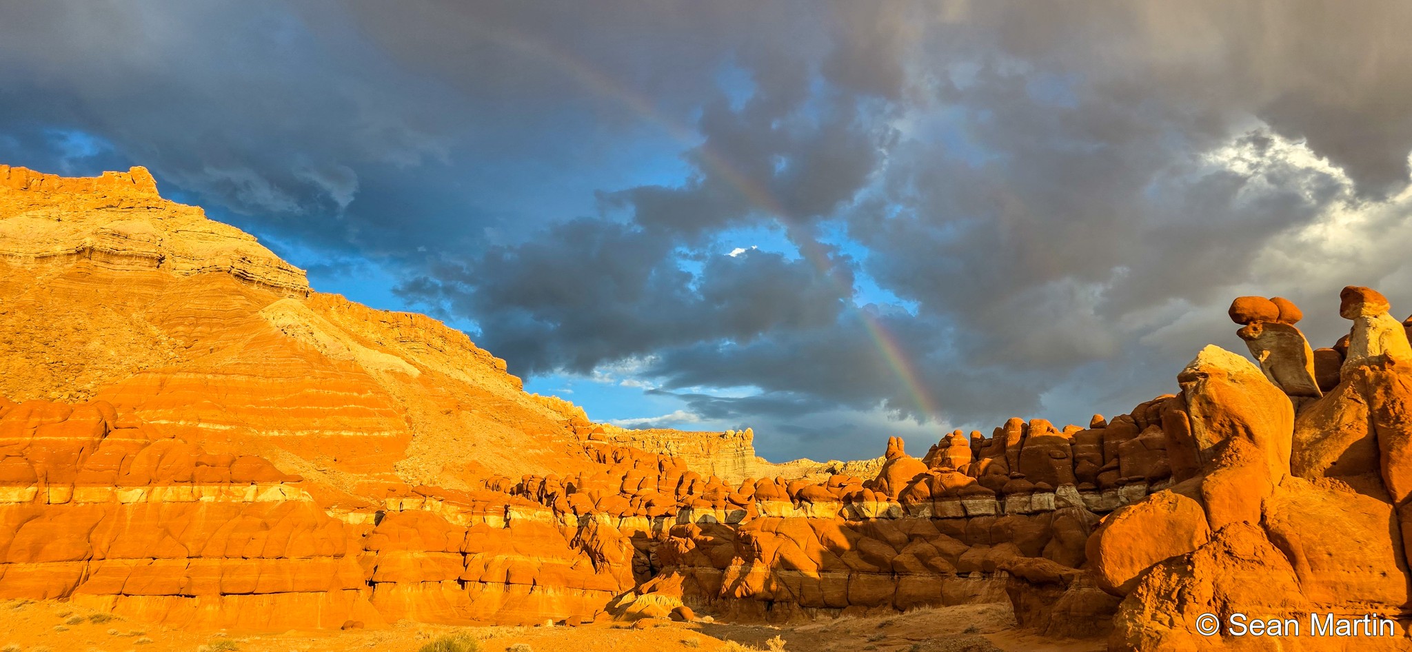
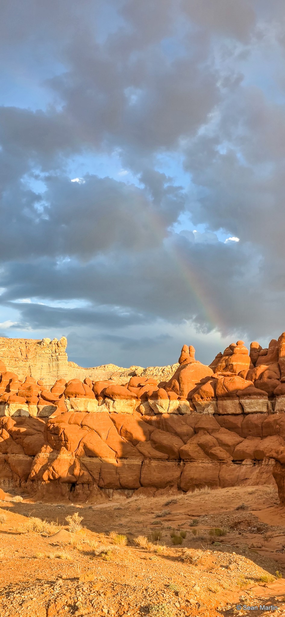
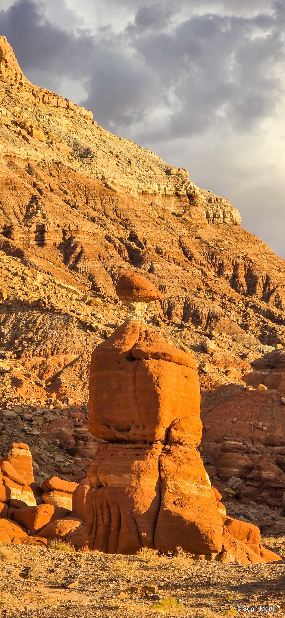
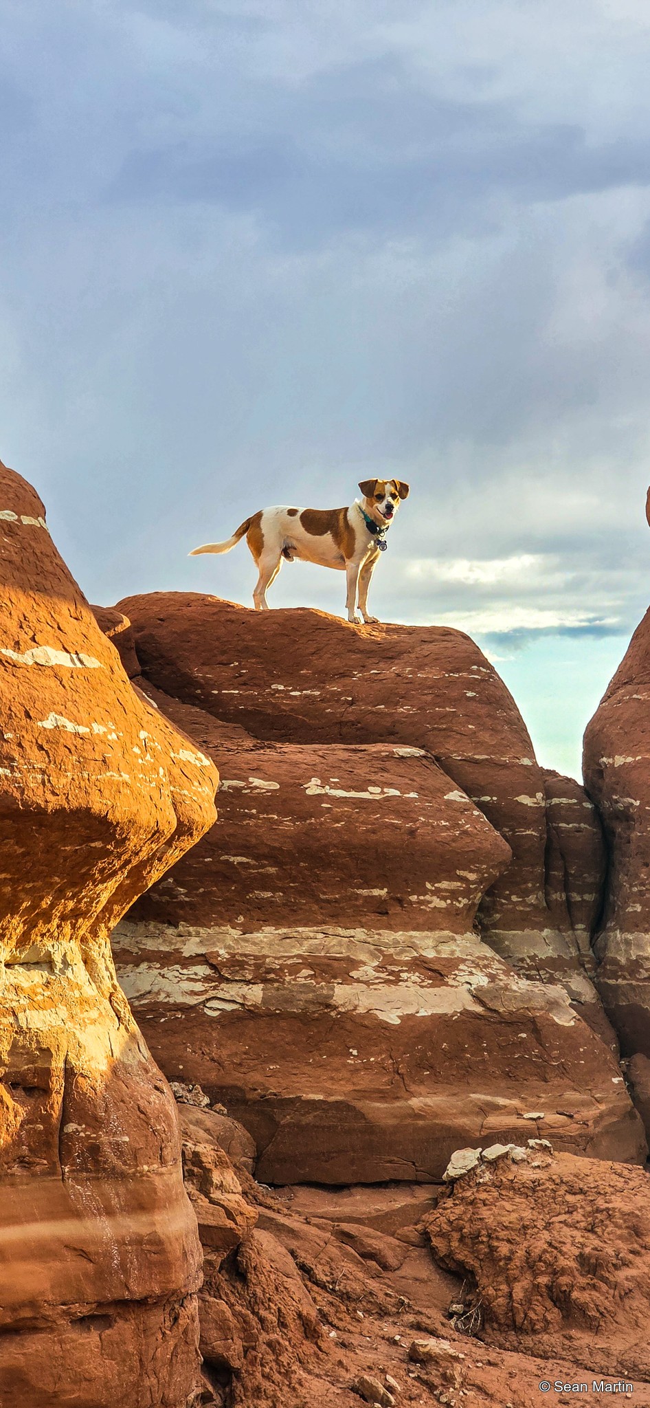
I camped along Poison Springs Wash Road from October 5 through 14. From camp, the landscape doesn’t immediately give away how much there is to explore. Walk down into the wash, though, and it starts to get beautiful pretty quickly.
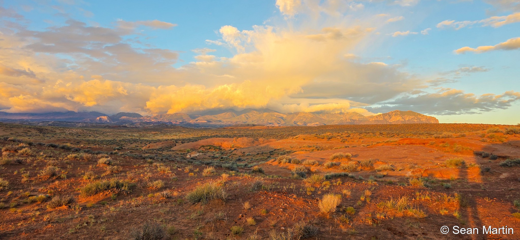
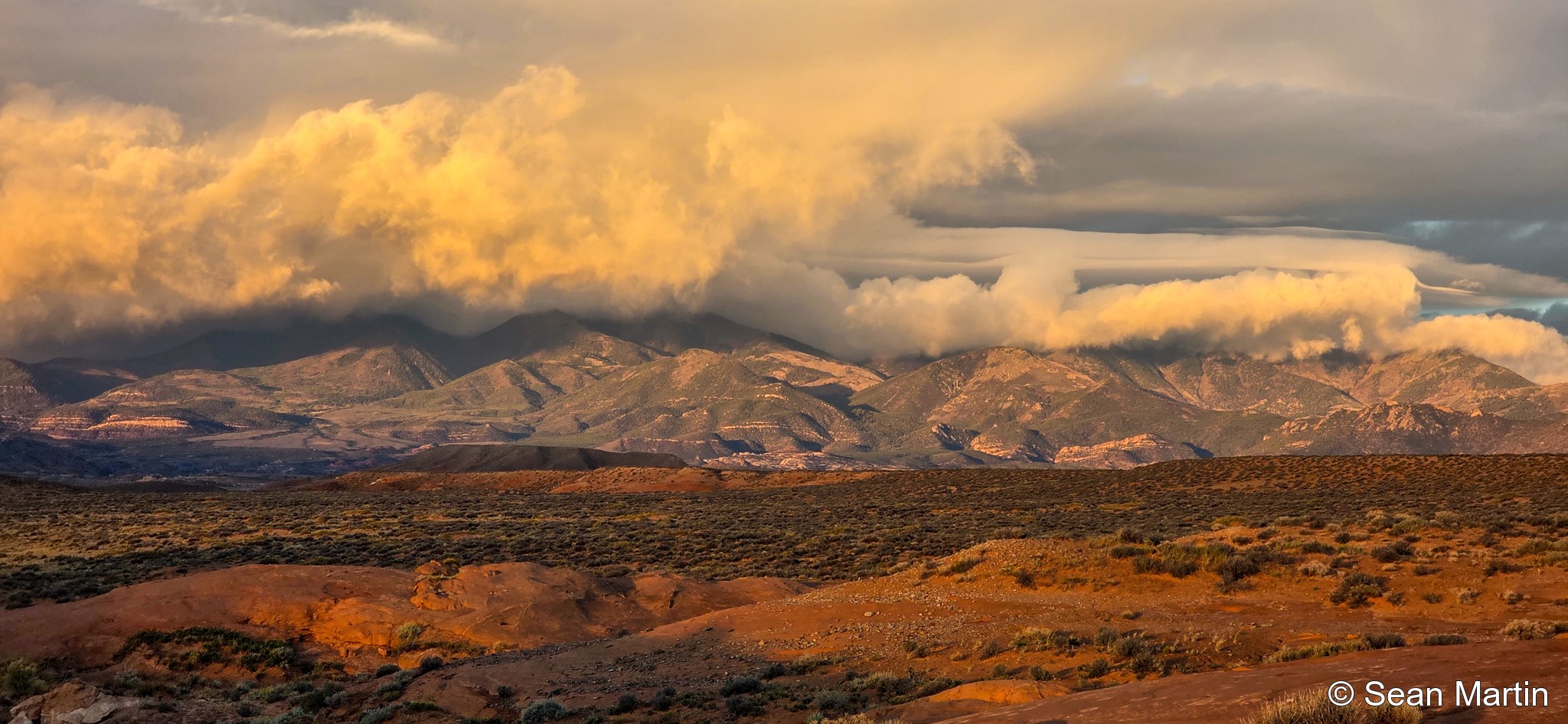
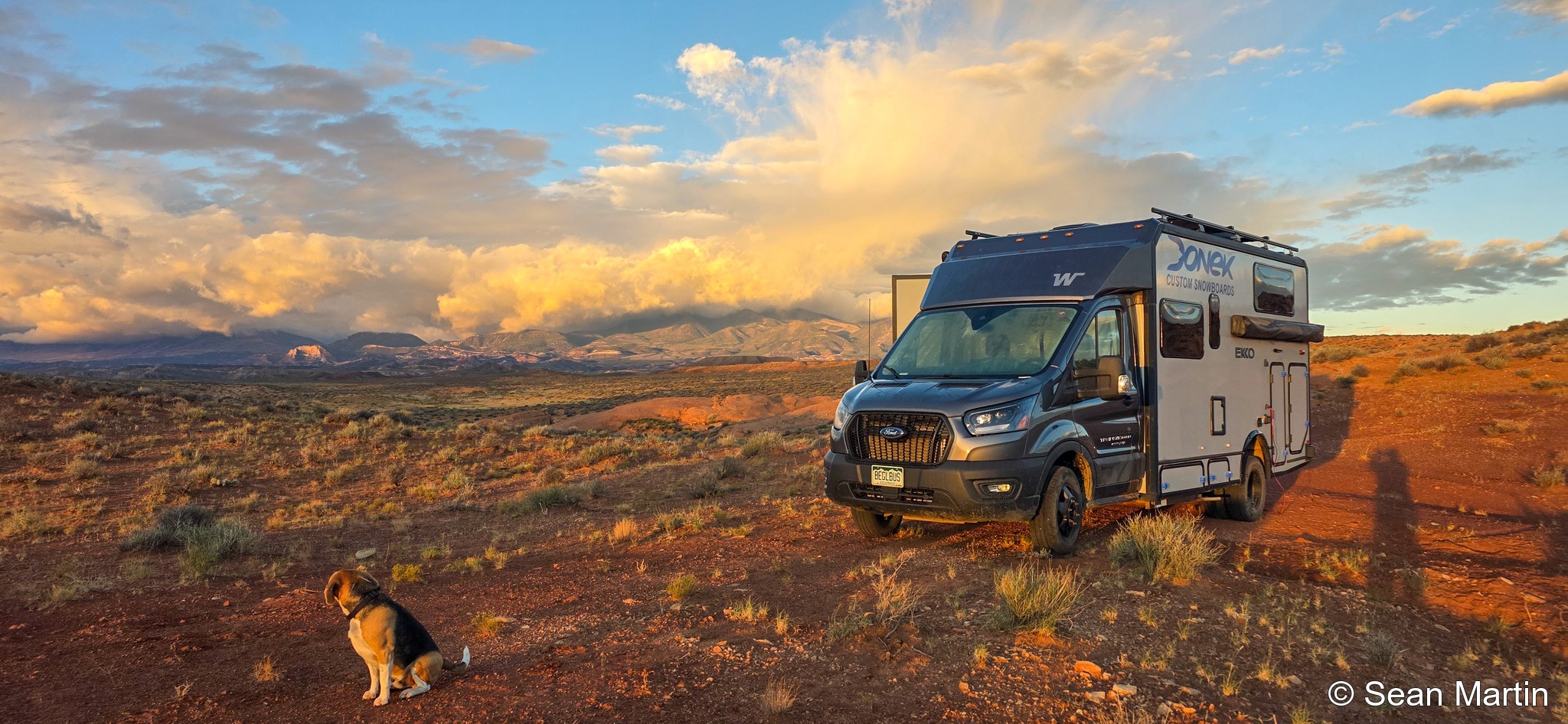
Camp above the wash
There was a lot of rain in the forecast, so I picked a spot up on a hill rather than down in the wash. I stayed longer than I normally would to wait out the storm. The rain turned out to be less than expected, and I never got to see the wash running full of water.
That hill made a good base for several walks down Poison Springs Wash Road. I walked up and down the wash three or four times during the stay. The stretch I explored looked barely passable in the Ekko. It looked doable, but I would much rather take a four-wheel-drive vehicle down there.
Exploring below camp
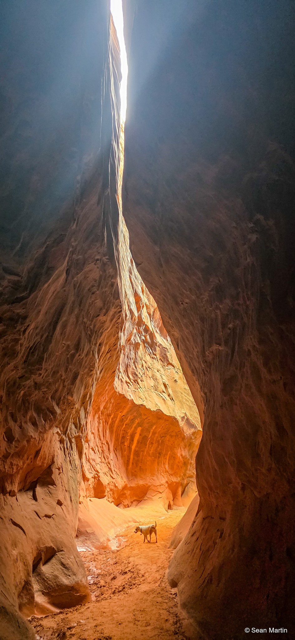
The road and wash names vary on the map, with Butler Wash and Poison Spring Wash Road both appearing along the route. For the first side canyon, the useful landmark is where the road crosses or enters the wash bed. About a mile farther down, a turn to the left leads into a beautiful canyon. On the map, it’s labeled as a branch of Poison Spring Wash Road. It runs roughly a mile to a mile and a half, and the farther in you go, the more spectacular it gets: sheer rock faces, deeper walls, and a very different view from what you see up at camp.
Around three miles down the route, near our turnaround, are the narrow side canyons I found labeled West Fork of Monoxide and East Fork of Monoxide. On the map, they’re near the far end of a square parcel marked as Utah state land. I explored one slot until mud stopped us from going farther, then came back out and walked a little way into another.
There were plenty of other side canyons I would have liked to investigate. With rain threatening, though, these were fairly quick outings: walk down, have a look, and get back out before the weather changed. There’s a lot below the surface here. You need some time, and you need to be willing to walk, but you don’t have to be camped beside an obvious landmark to have a worthwhile place to explore.
A base for day trips
Hanksville was about 20 minutes from camp, and there were plenty of options for outings. This stay included Little Egypt, Leprechaun Canyon, and a drive of roughly an hour and a half to hike Crack Canyon. Crack Canyon didn’t get as narrow as some of the slots, but it was a beautiful hike.
Goblin Valley, Moonscape Overlook, and the surrounding desert give you more reasons to spend a few days in this area. You can head out on day trips or stay close to camp and keep investigating the wash and its side canyons. I stayed to wait out the rain, but there was plenty to fill the time.
Leprechaun Canyon
I don’t have many photos from Leprechaun Canyon, but I did post an Instagram reel showing some of the hike.
Little Egypt
I also filmed a short drone flight around the rock formations at Little Egypt during this stay.